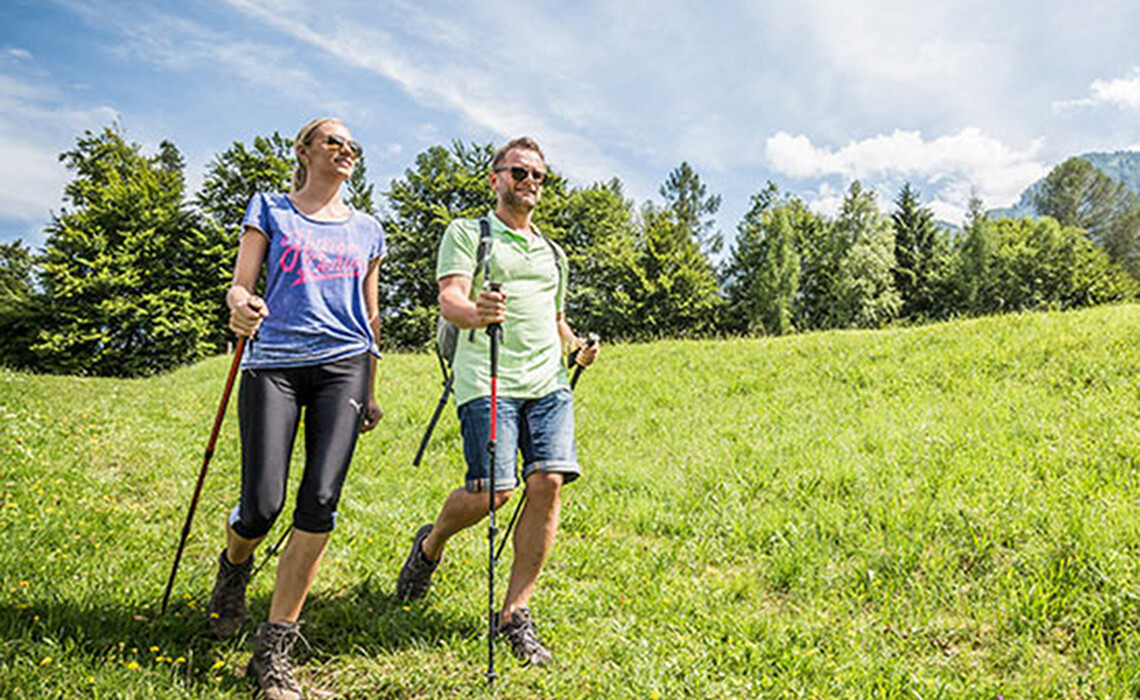
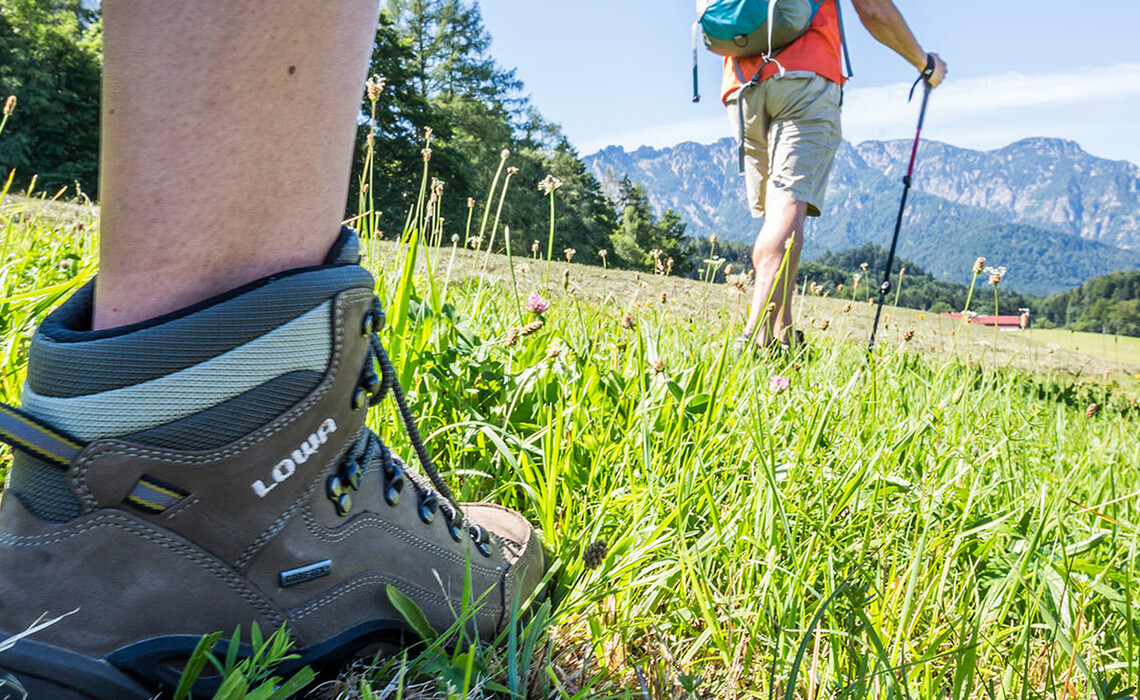
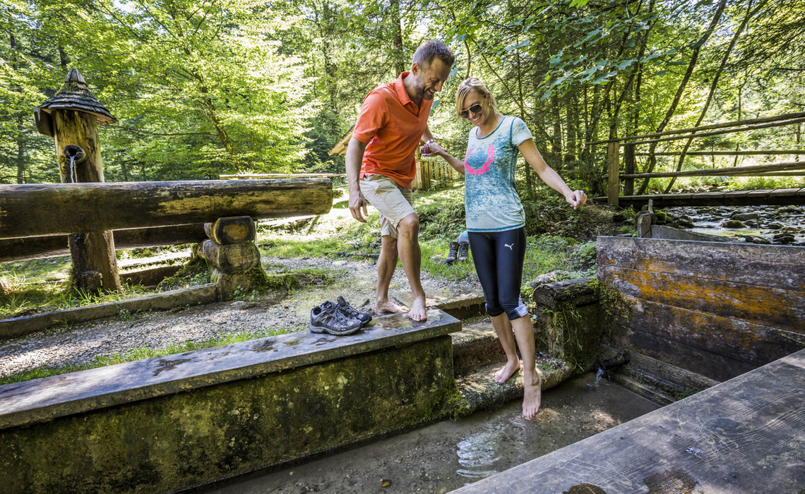
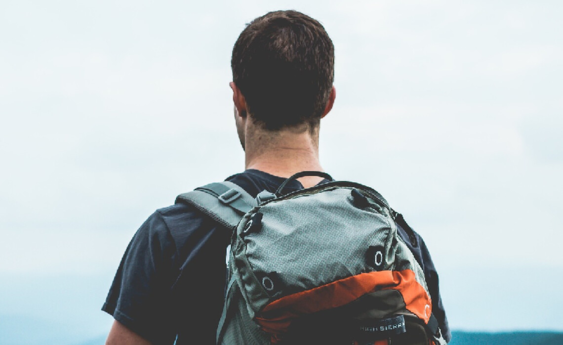
Today

Partly cloudy

9 °C

Tomorrow

Partly cloudy

18 °C

03/24/23

Cloudy

17 °C

  • Weather
  • Events
  • Contact & Arrival
  • Brochures
  • de
Menu
  • Highlights
  • Activities
  • Accommodation
  • Culture
  • Cuisine
  • Weather
  • Events
  • Contact & Arrival
  • Brochures
  • de

HIKING

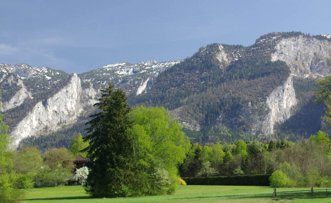
Take advantage of the beautiful landscape in Großgmain and surroundings for hiking. No matter if you are more the sporty ambitious hiker, or if you just want to go for a short walk in the fresh air, there is something for everyone.

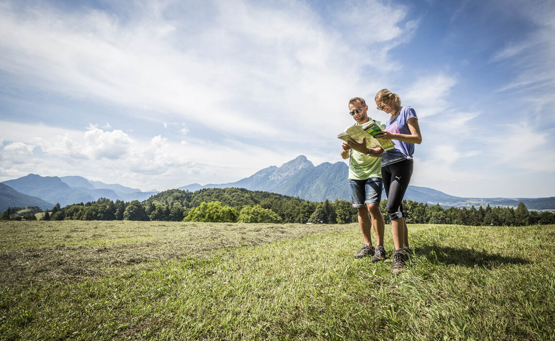
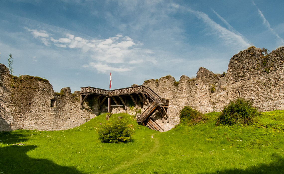
Here are the most popular hiking trails in and around Großgmain

Bi Teaser Aktivitaet 1

WHITE CROSS / RANDERSBERGRUNDWEG (WALKING TIME APPROX. 1 HOUR, 3.4 KM)

From the parking lot for hikers in northern direction to Braunspichl. Turn left at the devotional service and continue up the Randersberg. From the Weisse Kreuz always on the ridge to the easternmost point on the Randersberg. From there turn right over a forest road to the crossroads. Then at the Randersberg round trip back to the center of the village.

BRINE DISTANCE (WALKING TIME APPROX. 1 3/4 HOURS, 5.1 KM)

From the Gmoa Arena on the paved foot/bike path, first moderately at first, then increasingly ascending towards Pass Hallthurm. At the junction of the hiking trail to Wolfschwang/Großgmain, turn right and cross the federal road (B 20). On the other side of the road, a sandy forest path joins the road and can be followed upwards to the railroad track. Keep right here and follow the forest path. At the Löwenschlucht gorge the path narrows, a bridge leads over the stream. The path is then wider again along the railroad tracks. At an asphalt road over the tracks, turn right downhill and then left again on a sandy path to the footbridge over the Weißbach. Follow the brine pipeline path downwards until the turnoff to the Bayerisch Gmain mountain cemetery. Turn right, downhill to the main road and on an asphalted footpath/cycle path back to the starting point.

Headerbild Content Aktivitaet 2
Headerbild Home Aktivitaet 3

RANDERSBERGWEG (WALKING TIME APPROX. 2 HOURS, 5.5 KM)

Directly next to the tourist office in the center of Großgmain, on the left side of the Salzburger Straße branching off approx. 50 m along the road over the Mesnerbach. From there car-free past a listed, unfortunately dilapidated building (Tannhäusl) to a beautiful farm (Braunspichlhof). From there in northeastern direction to the Randersberg. Steeply ascending path past residential buildings into a wooded area. When you reach the top of a hill, there is a sign "Waldandacht". This small detour is worthwhile and leads back into the Randersbergweg. The "forest section" of the Nordic Walking course (total length 12.3 km) is a section of hiking trail 53. At the end of the Randersberg there is a fork in the trail. Turn left over a meadow path and continue to Gasthaus Häfei, to Hinterreit and to Steinerwirt (bus stop). Along the Way of St. James back to Großgmain.

WOLF SWAN ROUND (WALKING TIME APPROX. 2 1/2 HOURS, 5.9 KM)

From Großgmain to Hochburgerhöh past the Wetterkreuz. Then along the hiking trail to Wolfschwang. Then again on the pilgrim trail back towards Plainburg. There you can turn right to Plainburg (approx. 15 min.) or straight on through the forest path to the rehabilitation center. From there, continue to the senior citizens' residence and back to the starting point.

Mg 2964
Mwe 3922 1

SUNNY ROUTE (WALKING TIME ABOUT 1 3/4 HOURS, 6 KM)

From the Gmoa Arena, take the asphalted foot/cycle path along the main road. After a small gradient you will reach the Großgmain settlement area. Along the Weißbach mostly on asphalt roads to the state border. Keeping right, the road climbs slightly to the Marienkirche. Passing the church on the left, you can descend to the Weißbach at the end of an asphalt road. Follow the path along the brook until a bridge makes the crossing possible. Back on Bavarian territory turn left and follow the sidewalk along Leopoldstraße until a small asphalt road joins the road on the right (Harbacher Straße). Follow this road to the junction of the Harbacher Steig, which leads to the Bayerisch Gmainer Siedlungsgebiet (Bavarian Gmain settlement area). At a turning point with a chapel, follow the Feuerwehrheimstraße for a short while, at houses immediately left again to the Sonnensteig. Follow the asphalt path downhill and across open meadows with a beautiful view to asphalt roads (Taufkirchenweg). Straight on, cross the Großgmainer Straße at the Haus des Gastes and follow the meadow path to Dorfbauernstraße. Follow this road, turn left into Untersbergstraße and follow it to the main road (B 20). Follow the asphalt footpath/cycle path back to the starting point.

MARZOLL - LATSCHENWIRT ROUND (WALKING TIME APPROX. 2 HOURS, 6.2 KM)

From the waymark (WZ 2) past Marzoll Castle and the church of St. Valentin across the border. Cross the federal road and take the footpath ("Latschen Reitweg") along the Buchhöhstraße to the Latschenwirt. A small sandy road ("Latschenstraße") leads into the parking lot of the forest inn (signposted "Hinterreit, Marzoll, Großgmain"), which leads to farmsteads first descending, then slightly ascending and descending again. Follow the asphalt road over open meadows with a beautiful view of the Untersberg to Hinterreit. To the right of the Steinerwirt inn is the beginning of a sandy road ("Marzoll, Obermühle"), turn left in front of a farm and follow the footpath that joins the hiking trail from Marzoll to Obermühle (protected landscape area "Auf dem Tumpen"). Keep right and return to Marzoll.

Mg 2404
Headerbild Content Kultur 21

LATSCHENWIRT - PLAINBURG (WALKING TIME ABOUT 2 HOURS, 6,6 KM)

The starting point of the all-weather round is the large hiking parking lot at the Latschenwirt. The Untersberg Forest Quiz Trail branches off to the right after 150 meters and leads through a beautiful mixed forest to a ridge with great views. Trail 54 stays on the edge of the forest and then meets the access road to Wolfschwang. Along this it goes to the right. After one kilometer the short access road branches off to the ruins of Plainburg. After this detour back to the Middle Ages, the trail continues for another 100 meters along the road towards Großgmain. In front of the first house on the right, an initially unmarked path branches off to the right, which circles the castle hill and then leads down to the park of the rehabilitation center. There the path meets the main road and follows this on the right hand side on the sidewalk for one kilometer until Hinterreit. Shortly after the beginning of the village (bus stop), trail 53 a ("Latschen") branches off to the right into the settlement and a few meters later, this time without any markings, immediately to the right again. This path leads to the idyllically situated Gänshäusl and from there cross-country past a beautiful marterl to the connecting road to the Latschenwirt.

FROM THE CHURCH TO TANNENWINKEL (WALKING TIME APPROX. 1 3/4 HOURS, 6.9 KM)

From the church on the hiking trail 404 to the Tannenwinkel turn-off (sign). After the cross around the farm and continue towards Plainberg (sign). Then follow the markings and past the rehabilitation center back to Großgmain.

New Project 1
Untersberg

NATURE PARK UNTERSBERG - HIKE (WALKING TIME ABOUT 2 1/4 HOURS, 9,6 KM)

From the signpost (WZ 2) past Marzoll Castle and St. Valentin Church, cross the state border (barrier) and keep left on the footpath/cycle path along the main road to the Salzburg Open Air Museum. Here turn right and follow the sandy footpath along the grounds of the open-air museum. The path rises through a romantic spruce forest in the Untersberg Nature Park. At a fork in the path ("fitness trail, pilgrims' path") you have the option of walking straight on to the Latschenwirt (refreshment stop) or following the path to the left. Through a beautiful forest you reach a fork in the road, keep left here ("Freilichtmuseum, Hinterreit"), downhill past the northern boundary of the museum area and finally past the museum workshop to the junction with the main road. Follow the paved footpath/cycle path back to the museum parking lot and then to the turn-off to Marzoll.

Visit us on

Contact How to find us

Contact

Salzburgerstraße 469
5084 Großgmain
Tel.: +43 6247 8278
Email: mail@grossgmain.info

Approach Contact Form

Opening Hours

Monday: 09:00 - 17:00 o'clock

Tuesday: 09:00 - 18:00

Wednesday: 09:00 - 14:00 hrs

Thursday: 09:00 - 17:00 hrs

Friday: 09:00 - 14:00 hrs

(except holidays)

Links

Imprint Data Protection
Salzburger Freilichtmuseum Salzburg Berchtesgadener Land Urlaub in Österreich Grossgmain